An upriver valley nestled in the foothills beneath a large dormant volcano, this region spans twenty to fifty miles of temperate hills and terraced slopes. A wandering river threads the valley with two main tributaries feeding from the mountains, and settlements cling to terraces and ferries. Colonial-era infrastructure mixes with clan traditions, magic is common in trade and folk rites, and the landscape offers timber, stone, and seasonal flood risks for adventurers to exploit or mend.
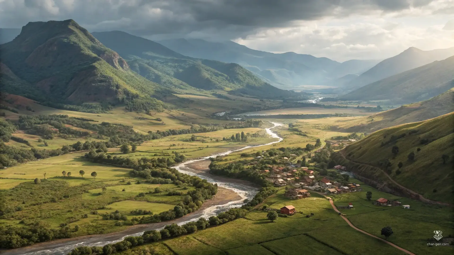
Foothold Valley
Region AtlasFoothillsLocal (20-50 miles)
Foothold Valley
The valley of the wandering river beneath the sleeping peak.
PopulationSparse overall with denser clusters along river…
ClimateTemperate with warm summers, cold snowy winters,…
TerrainUndulating foothills cut by a wandering river and…
StabilityModerately stable with recurring tensions over…
Visual sheet
Turn Foothold Valley into a sheet
A high-res, share-ready sheet you can post or print.
Gallery
Foothold Valley Image
Settlements
Riverside Market
Market townMedium
Main trade hub and legal meeting point.
Highpass Village
VillageSmall
Passway support and shelter for travelers.
Ironford
TownSmall
Quarry and smithing center for regional tools.
Valleyham
HamletSmall
Agricultural supplier and seasonal labor source.
Bridgewatch
OutpostSmall
Ferry and toll enforcement outpost.