Skip to content
CreatePricing
The Varo March - AI-generated fantasy Region

The Varo March

Region AtlasDisputed frontier and mythic riverlandA broad multi-settlement frontier spanning several days of river travel and many miles of deep forest

The Varo March

Where every sunset makes two kingdoms true.

PopulationModerate along rivers and cleared fields, sparse…
ClimateHumid, warm, and rain-heavy, with long growing…
TerrainBroad rivers divide dense forest, drowned…
StabilityLow but functional, sustained by bribery, ritual,…
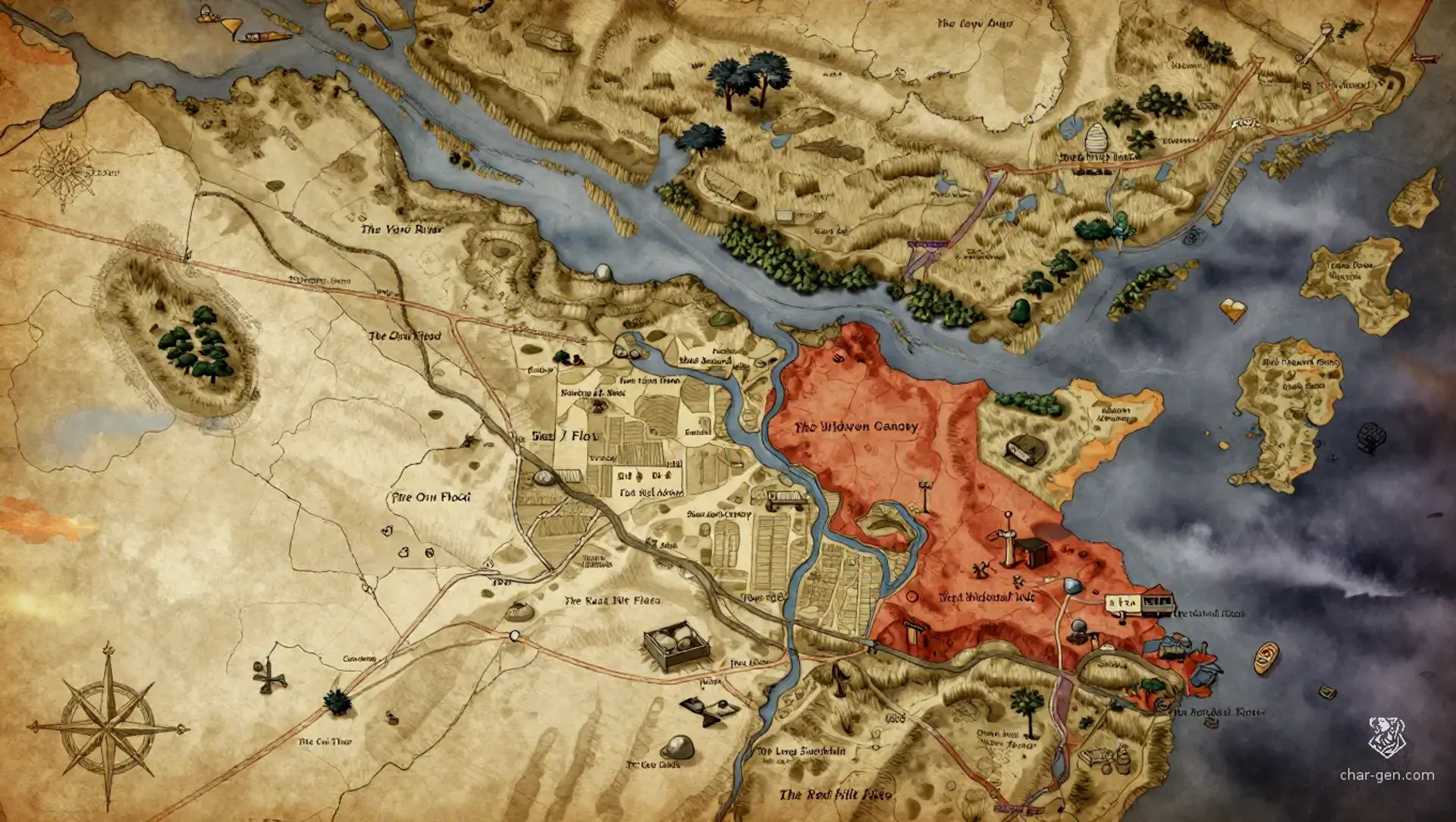
The Varo March is a broad frontier of deep forest, slow rivers, and disputed farmland on Kharu's spherical world. Villages harvest rich flood soil while paying taxes to two crowns, because both legal claims become physically true at sunset. Refugees, deserters, traders, mystics, and crown agents compete across shifting roads and drowned woods. Mythic magic lies beneath every boundary, and each attempt to change the land creates a debt that someone must eventually pay.
Field Observations

Roads become rivers during the wet season.,Sunset can alter which border markers and tax claims are physically real.,Unmeasured paths often loop back to the last named landmark.

Cultures

The Varoan river farmers preserve boundary songs, sunset tax rituals, and communal grain law.

The Reedcloak communities descend from deserters, ferrymen, and forest refugees who value concealment and mutual protection.

The Survey-Keepers preserve measured names, blood contracts, and fragments of the buried lines beneath the region.

Industries
Grain farming
River transport
Timber cutting
Contract magic services
Trade Goods
Flood rice
Blackwood timber
Medicinal moss
Sealed survey tablets
Imports
Worked iron
Salt cakes
Lamp oil
Trade Hubs
Clearing-of-Naro
Kesh Gate
The Drained Acre

Geography

ClimateHumid, warm, and rain-heavy, with long growing seasons, violent storms, and misty autumn floods.
TerrainBroad rivers divide dense forest, drowned lowlands, muddy fields, and raised banks marked by buried survey stones.
Biomes
Floodplain farms
Flooded deep forest
Reed marshes
Raised river islands
Old-growth canopy
Waterways
The Varo River
The Oru Flood
The Keta Run
The Widewater Channel
Borders
The northern crown road
The eastern high forest
The southern treaty fields
The western river frontier

Demographics

Varoan farming clans
Refugee and deserter communes
Riverfolk traders
Minor Groups
Forest hermits
Survey-Keeper initiates
Displaced border soldiers
Languages
Varoan Common
Kharic Trade Speech
Old Survey Cant
Reed Sign

Economy

Status

Uneven and modest, with wealthy tax agents beside poor tenant villages.

Visual sheet

Turn The Varo March into a sheet

A high-res, share-ready sheet you can post or print.

Gallery

No images yet. Click to add.

Settlements

Clearing-of-Naro

Market townLarge village

River market and tax exchange

Kesh Gate

Fortified crossingSmall town

Road checkpoint and ferry station

The Drained Acre

Farming settlementLarge village

Grain producer and reclamation center

Moku's Reach

River hamletMedium village

Refugee harbor and smuggling port

The Cut Timber

Logging settlementSmall village

Timber camp and survey supply post