Skip to content
CreatePricing
Kargel - AI-generated fantasy Region

Kargel

Region AtlasMythic northern steppeA large region spanning several weeks of mounted travel from the southern border to the northern grazing limit

Kargel

Where the grass remembers every name the living tried to bury.

PopulationSparse across the open steppe, with denser…
ClimateLong, bitter winters give way to brief bright…
TerrainA vast rolling steppe broken by shallow ravines,…
StabilityModerate and fragile, sustained by trade…
Kargel is a broad northern steppe where mounted trade routes cross the buried remains of a vanished kingdom. Sparse camps, river villages, shrine stations, and caravan markets stretch across cold grasslands beneath enormous skies. The region's greatest wealth is not gold but memory, because royal records lie sealed beneath the turf and are teaching ordinary shepherds precise names that can command reality, restore forgotten events, or raise the dead.
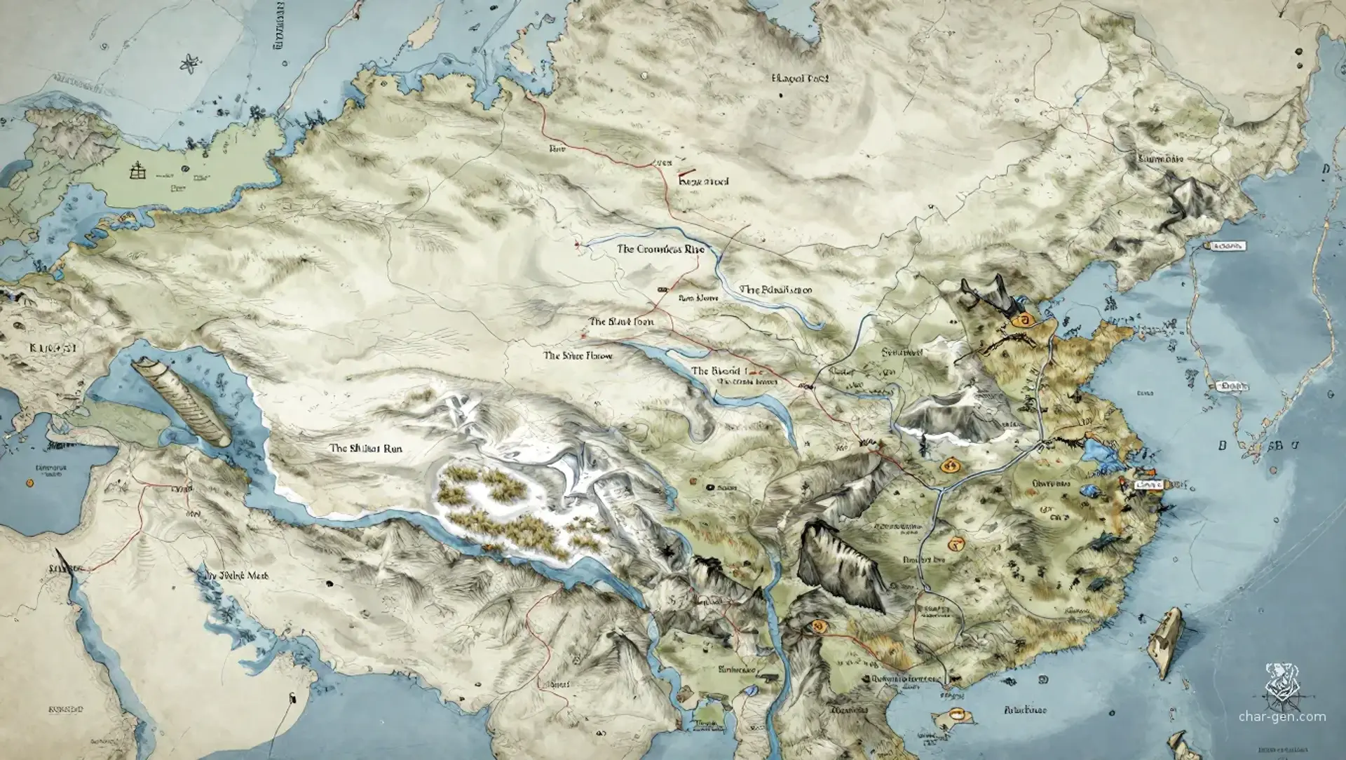
Field Observations

Winter travel is fast on packed snow but dangerous during whiteouts.,Summer grass hides sinkholes, old walls, and names that can animate the dead.,Caravans should hire local guides because landmarks shift under frost and wind.

Cultures

The Kargeli herders preserve oral contracts, seasonal migrations, and ancestor songs.

The Archive-Bound communities value written names, recovered records, and careful ritual speech.

The Saddle Clans emphasize hospitality, competitive riding, and prestige earned through trade.

The Reed-Mask settlers blend steppe customs with riverine fishing, ferrying, and funerary rites.

Industries
Horse breeding and mounted escort work
Wool, felt, hide, and bone craft
Caravan brokerage and record recovery
River fishing and salt gathering
Trade Goods
Steppe horses
Dyed wool and felt
Salt cakes
Recovered maps and legal records
Imports
Grain and preserved fruit from warmer regions
Worked iron and copper tools
Lamp oil and fine paper
Trade Hubs
Hushmarket
The Sere Archive Road
Kargel Ford

Geography

ClimateLong, bitter winters give way to brief bright summers, with sudden whiteouts, dry lightning, and fierce seasonal winds.
TerrainA vast rolling steppe broken by shallow ravines, stony ridges, marshy river corridors, and buried foundations from an older kingdom.
Biomes
Wind-scoured cold steppe
Shortgrass grazing plains
Frozen reed marshes
Juniper ravines
Snow-fed river valleys
Waterways
The Sibilant Run, a narrow river named for its whispering reeds
The Greywater, a broad meltwater channel with unstable banks
The Threnody Mere, a marsh lake whose ice hums before breaking
The Olshek Wash, a seasonal stream named for a forgotten royal surveyor
Borders
The southern grainlands beyond the last permanent grass
The western salt flats and broken escarpments
The northern ice barrens beyond the grazing line
The eastern hill passes into Avarran trade territories

Demographics

Kargeli steppe herders
River-ford farmers and fishers
Mounted caravan families
Minor Groups
Archive pilgrims
Northern exile communities
Seasonal shrine keepers
Languages
Kargelic, a clipped herding tongue
Old Veyric, used in recovered records
Trade Cant, common among caravans
Grass-Speech, a ritual language of names

Economy

Status

Uneven but commercially active, with caravan families and archive brokers wealthy beside subsistence herders.

Visual sheet

Turn Kargel into a sheet

A high-res, share-ready sheet you can post or print.

Gallery

No images yet. Click to add.

Settlements

Hushmarket

Trade hubLarge seasonal town

Major caravan market

Kargel Ford

Ford villageMedium permanent settlement

River crossing and toll station

Sere Archive

Fortified excavation campSmall growing settlement

Archive research outpost

Bell-Reed

Marsh villageMedium permanent settlement

Fishing, ferrying, and shrine center

Longwatch

Ridge stationSmall permanent settlement

Waystation and caravan defense post