
The Seven-Day Roadlands stretch across a broad temperate frontier built around one busy overland road and many smaller tracks. Farms, waystations, and grazing camps cluster where the ground stays dry and water lies close. Most folk live by trade, defense, or husbandry, while magic is woven into daily work through charms, wards, and roadside rites. The region feels open, practical, and watchful, with long horizons and many hidden problems.
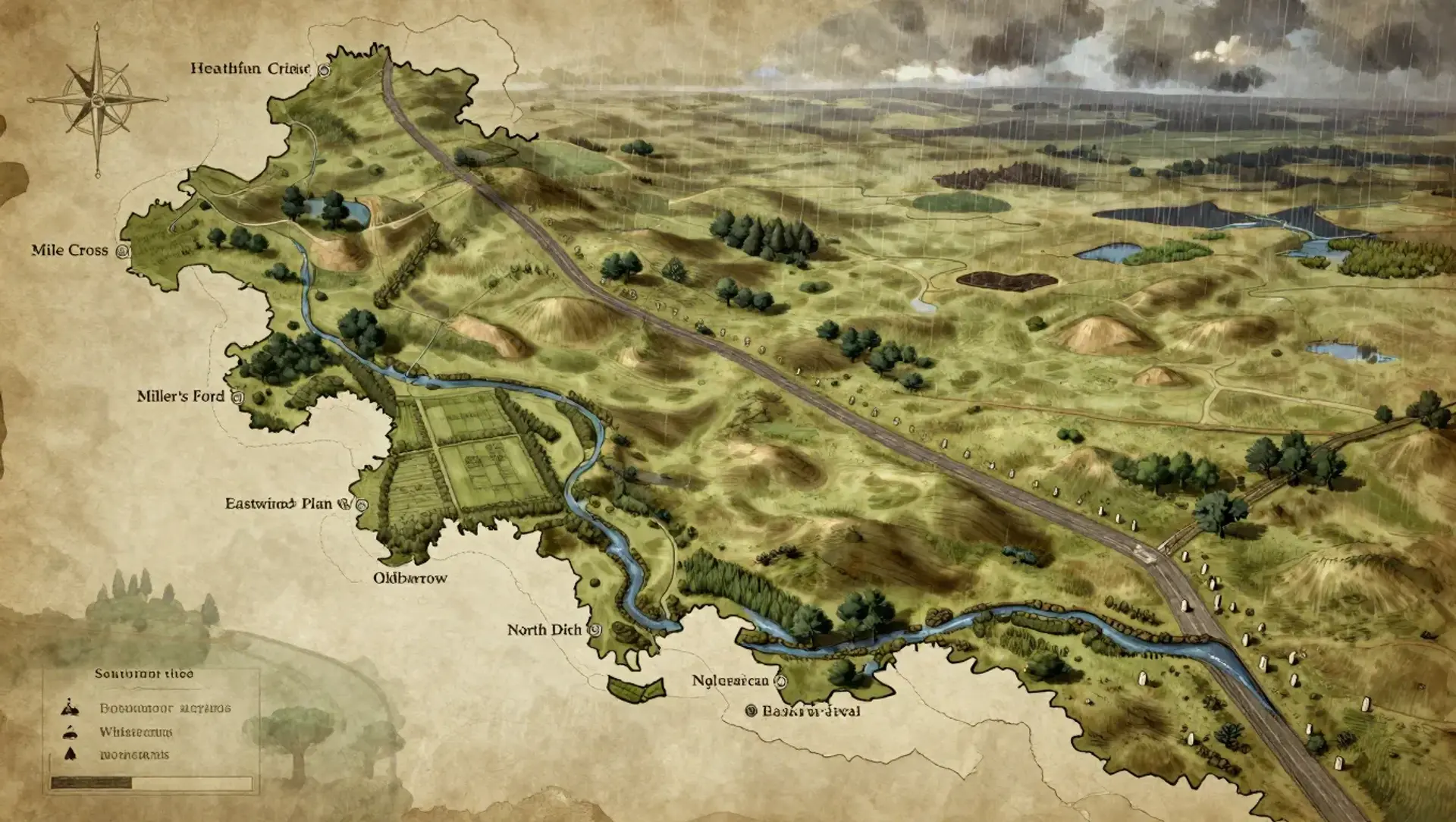
The Seven-Day Roadlands
Region AtlasFrontierRegional, roughly 50 to 150 miles across and about seven days' walking along the main road.
The Seven-Day Roadlands
Where the road runs long, the grass remembers older paths.
PopulationSparse to moderate, with long stretches of empty…
ClimateTemperate with mild summers, cold winds, and…
TerrainBroad plains broken by shallow ridges, drainage…
StabilityUneasy but functional, held together by trade and…
Visual sheet
Turn The Seven-Day Roadlands into a sheet
A high-res, share-ready sheet you can post or print.
Gallery
No images yet. Click to add.
Settlements
Mile Cross
Waystation hamletSmall
Road exchange point
Hearthfield
Agricultural villageSmall
Farm surplus center
Gateford
Ford townSmall
River crossing and customs point
Bracken Rest
Roadside inn clusterTiny
Caravan shelter
Oldbarrow
Fortified hamletTiny
Frontier outpost