
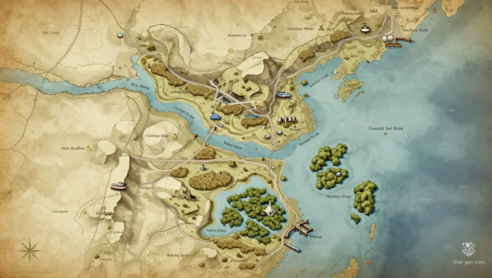
Port Ketu is a broad temperate coastal region where crowded estuaries, marsh islands, and raised trade roads carry commerce between the Free Cities. Its wealth comes from ships, salt, maps, and contracts, while its danger comes from the same sources. Every district bears traces of measured magic, and a whispered route can become a real road before dawn. The region feels prosperous, improvised, and one badly read map away from disaster.
Port Ketu
Region AtlasMythic coastal trade regionA large multi-settlement coastal region spanning several estuaries, marsh islands, levee roads, and connected Free City trade corridors.
Port Ketu
Where every tide carries a bargain, and every map may become true.
PopulationVery high around the estuaries and trade roads,…
ClimateMild and wet, with cool sea winds, long misty…
TerrainA crowded web of tidal channels, mudflats,…
StabilityProsperous but tense, with rival guilds, foreign…
Visual sheet
Turn Port Ketu into a sheet
A high-res, share-ready sheet you can post or print.
Gallery
No images yet. Click to add.
Settlements
Humming Quays
Port districtMetropolitan
Primary shipping and customs district
Spring Ledger Market
Market townLarge
Seasonal trade and contract fair
Gullstep Bluffs
Clifftop townMedium
Coastal lookout and fishing center
Reedwake
Island settlementMedium
Marsh transit village
Counting Quays
Civic quarterLarge
Administrative and legal district