
This broad coastal region spans many miles of harbors, river mouths, marshes, and inland market roads. It functions as a loose city-state network rather than a single kingdom, with each town guarding its customs while relying on shared trade and defense. Common magic is woven into shipping, salvage, and civic life, so even modest settlements feel active, competitive, and connected by practical bargains.
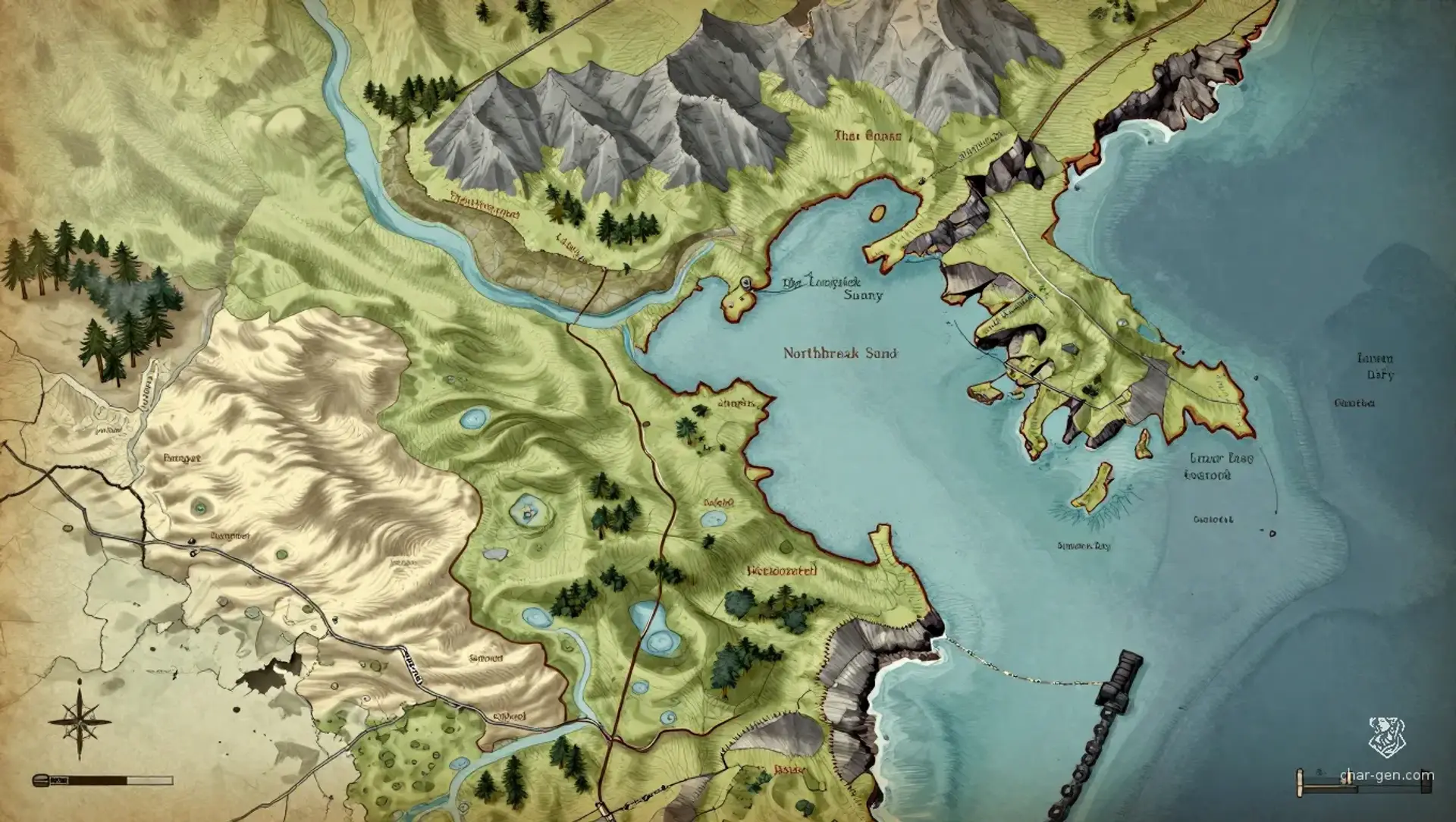
The Littoral League
Region AtlasCity-State RegionNation-sized coastal region of roughly 300 to 600 miles across.
The Littoral League
Where tides move faster than laws, and laws still try to keep up.
PopulationDense along the coast and river mouths, thinner…
ClimateTemperate with wet winters, bright summers, and…
TerrainCoastal with harbors, estuaries, cliffs, and low…
StabilityFunctional but tense, with bargains holding where…
Visual sheet
Turn The Littoral League into a sheet
A high-res, share-ready sheet you can post or print.
Gallery
No images yet. Click to add.
Settlements
Harborgate
Port cityLarge
Primary shipping interchange.
Westmarket
Market townMedium
Regional trade town.
Cliffwatch
Cliff fortSmall
Defense and signaling post.
Reedford
River townSmall
Agrarian and fishing support town.
Lantern Bay
Coastal settlementMedium
Harbor for pilots and salvage crews.
Stone Quay
Port townMedium
Secondary mercantile port.