
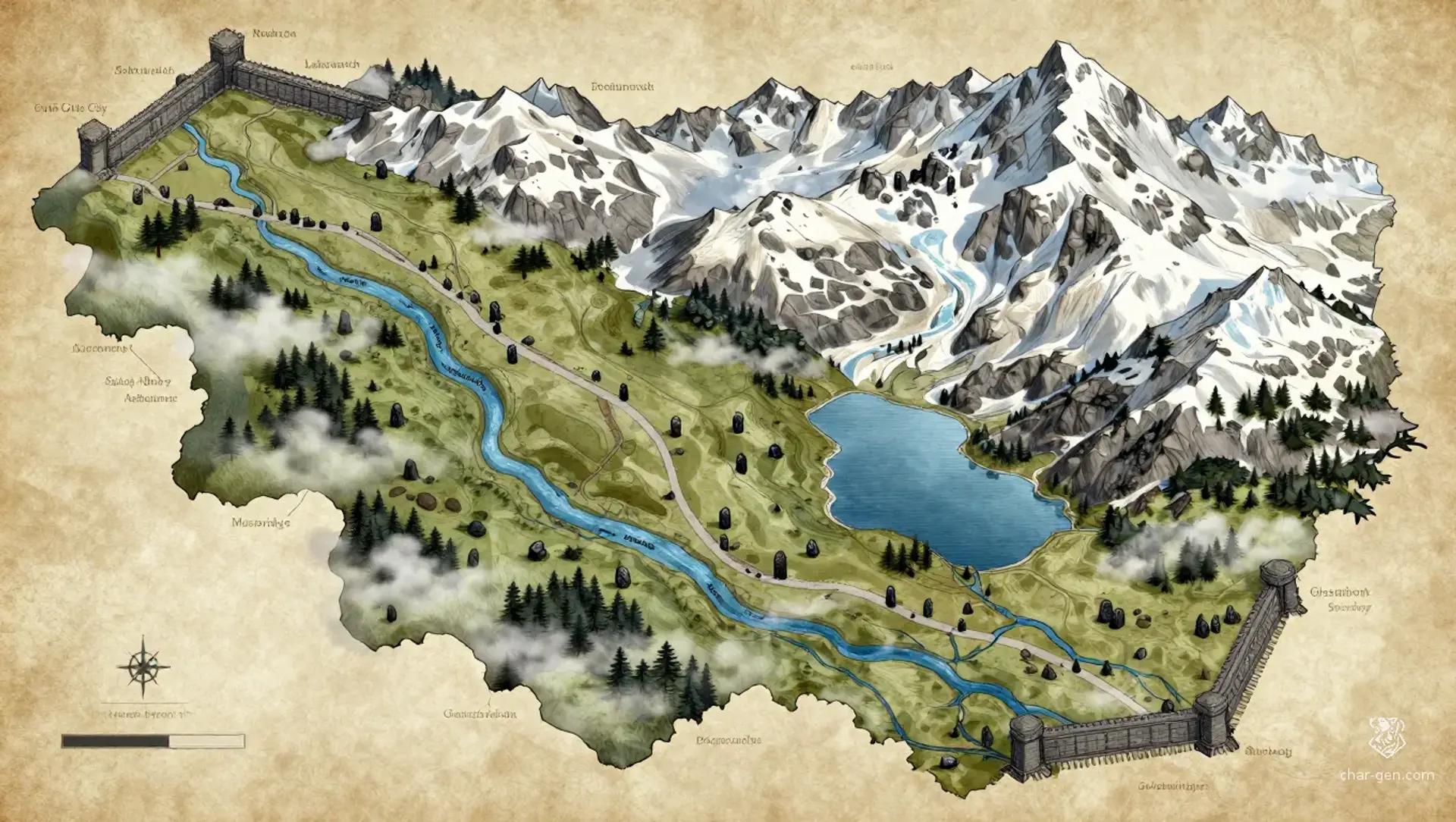
The Mournmont is a long alpine valley trapped between stern mountain ranges, broad enough to hold many farms, villages, lakes, and forest hamlets. Gothic walls crown its northern and southern ends, where two fortified cities watch the road and collect tolls. Between them lies a patchwork of monasteries, pastureland, dark woods, and chill waters, all under frequent mist and snowmelt. It feels old, devout, and quietly watchful.
The Mournmont
Region AtlasHighlandsRegional, spanning roughly 50 to 150 miles.
The Mournmont
Where fog, faith, and fortresses bind the valley together.
PopulationModerate in the valley floor and sparse in the…
ClimateCold alpine weather with long winters, misty…
TerrainA long enclosed valley cut between steep mountain…
StabilityGenerally stable, though rival claims between…
Visual sheet
Turn The Mournmont into a sheet
A high-res, share-ready sheet you can post or print.
Gallery
No images yet. Click to add.
Settlements
North Gate City
Walled cityLarge
Northern entry point and military watch.
South Gate City
Walled cityLarge
Southern entry point and customs center.
Lakewatch
TownMedium
Ferry stop and local market town.
Ashenmere
VillageSmall
Craft village and charcoal supplier.
Stag Abbey
MonasterySmall
Monastic center and archive.
Mossbridge
VillageSmall
Agricultural market village.