
The Glistening Archipelago is a cluster of lush islands defined by massive freshwater rivers that bisect the land. Known for fertile silt and masterful mapmakers, the region pulses with high magic that empowers both the flora and the complex irrigation systems. While most islands thrive in humid splendor, one remains paradoxically parched. Travelers navigate a network of bridges and ferry crossings between islands, balancing the beauty of the landscape against the unpredictable arcane currents flowing through the water.
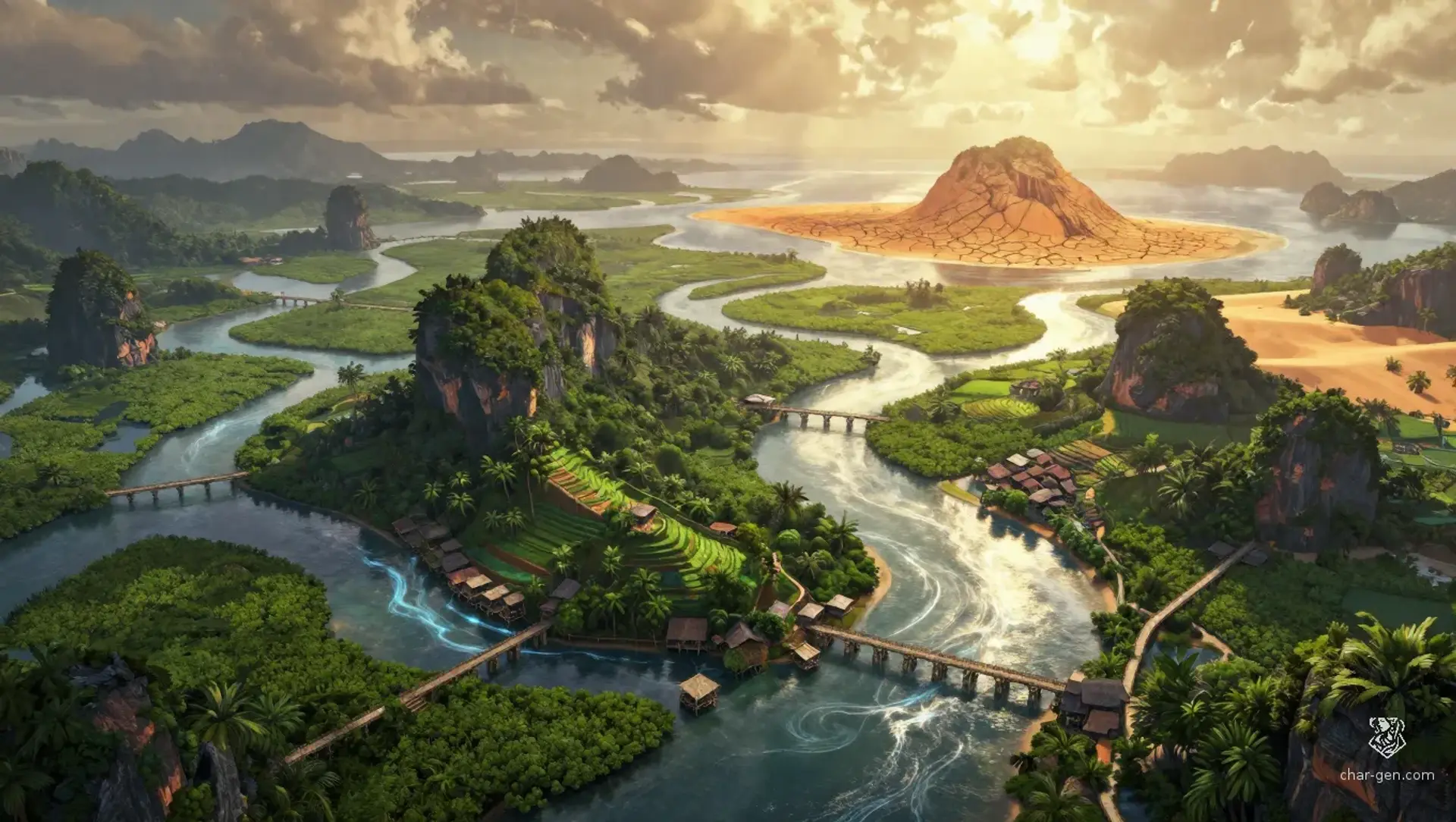
The Glistening Archipelago
Region AtlasIsland Chain120 miles across
The Glistening Archipelago
Where the tides of magic carve paths through the soil.
Low-lying river plains and muddy deltas.
PopulationModerate and concentrated heavily near freshwater…
ClimateHumid and subtropical with seasonal monsoon winds.
TerrainLow-lying river plains and muddy deltas.
StabilityRelatively high despite rising tensions regarding…
Visual sheet
Turn The Glistening Archipelago into a sheet
A high-res, share-ready sheet you can post or print.
Gallery
No images yet. Click to add.
Settlements
River Bend
VillageSmall
Agricultural hub
Tide’s Reach
Port TownMedium
Trade gateway
Cartographer’s Rest
TownMedium
Knowledge center
The Parched Post
OutpostTiny
Observation point