
The Rainward Heartland is a broad regional expanse of fertile plains, reed marshes, and river-fed settlements stretching across a hundred miles of monsoon country. Raised roads connect farming villages, shrine towns, fortified market centers, and busy ports at the southern delta. The land appears peaceful from afar, yet ancient weather magic, buried ruins, political rivalries, and hungry spirits make every harvest season a potential crisis.
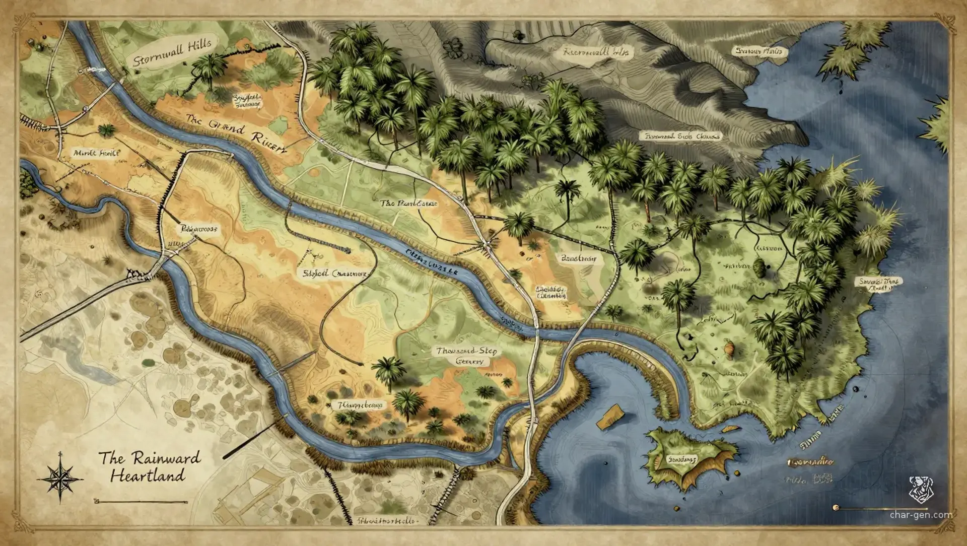
The Rainward Heartland
Region AtlasHeartlandRegional, approximately 50 to 150 miles across
The Rainward Heartland
Where every harvest hides a ruin and every storm remembers a name.
PopulationDensely settled along waterways and moderately…
ClimateHot monsoon climate with humid summers, violent…
TerrainBroad alluvial plains crossed by raised roads,…
StabilityGenerally stable, though flood damage, factional…
Visual sheet
Turn The Rainward Heartland into a sheet
A high-res, share-ready sheet you can post or print.
Gallery
No images yet. Click to add.
Settlements
Market Ford
Market townLarge
Primary commercial crossroads
Reedbank
Marsh villageSmall
Wetland fishing and herbalism center
Stonefield
Fortified townMedium
Agricultural storage and regional defense
Raincross
Shrine cityLarge
Religious and caravan hub
South Quay
River portLarge
Delta export port