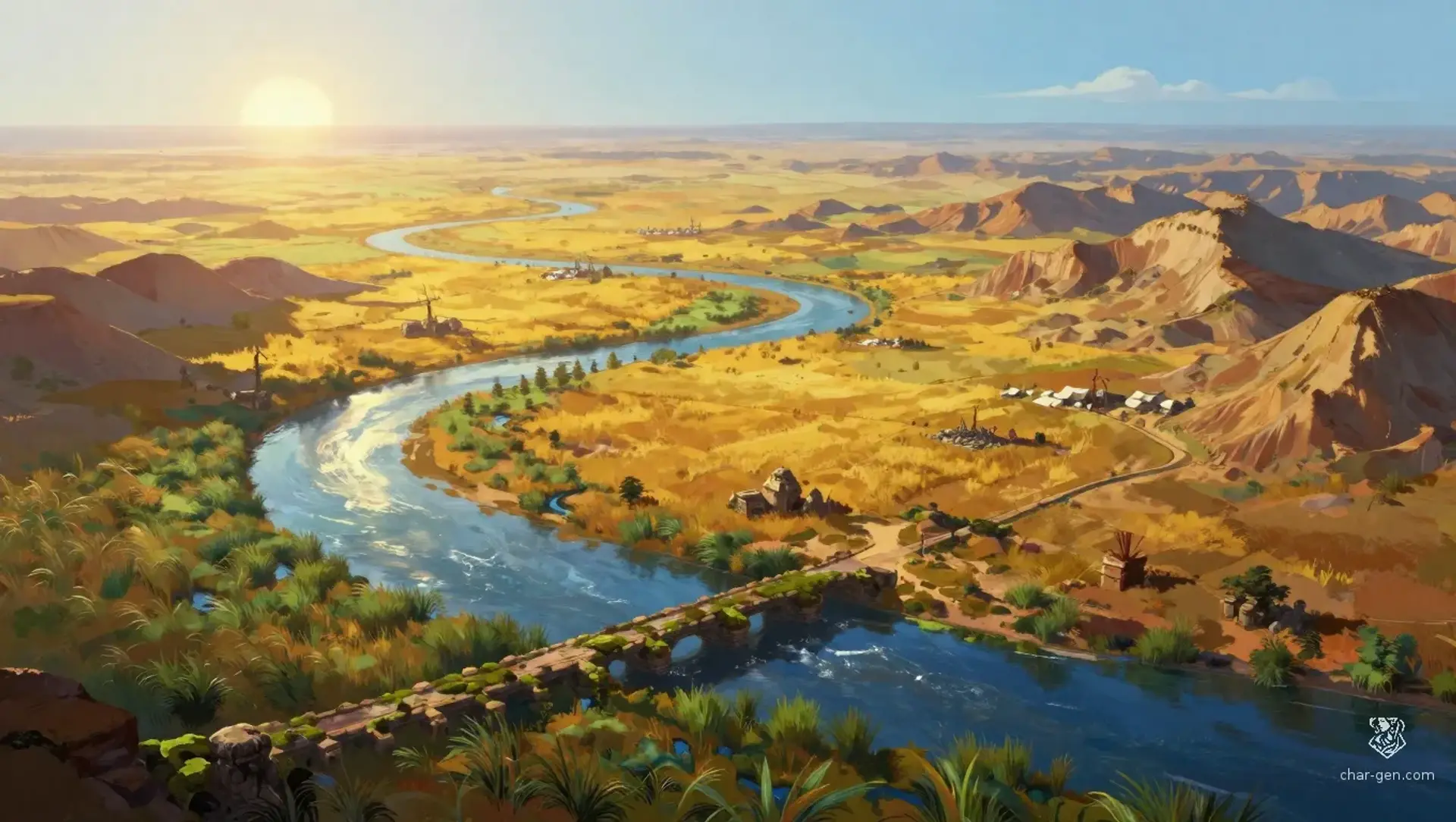
The Summer Lands stretch across a broad belt of warm rivers, open pasture, and dry uplands, large enough to hold many towns without feeling unified. Travelers pass from grain valleys to reed marshes to wind-swept steppe in a day or two. It is a region of trade, migration, and seasonal labor, where people measure distance by the next ford, the next market, or the next safe roof rather than by borders.
The Summer Lands
Region AtlasBroad river-and-steppe frontier regionA large subregional expanse spanning many days of travel.
The Summer Lands
Where summer roads braid rivers, markets, and endless horizons.
PopulationModerate and uneven, with dense river corridors…
ClimateLong dry summers, brief storm seasons, and mild…
TerrainBroad open country broken by rivers, ridges,…
StabilityGenerally stable, though local rivalries flare…
Visual sheet
Turn The Summer Lands into a sheet
A high-res, share-ready sheet you can post or print.
Gallery
No images yet. Click to add.
Settlements
Fordmarket
Market townLarge
Primary river exchange and crossing point.
Reedwharf
Port townMedium
Marsh docking and reed trade.
Sunmill Cross
Road townMedium
Inland trade junction.
Cairnwatch
Fort villageSmall
Border lookout and messager stop.
Greenrest
Pasture villageSmall
Livestock exchange and clan meeting ground.