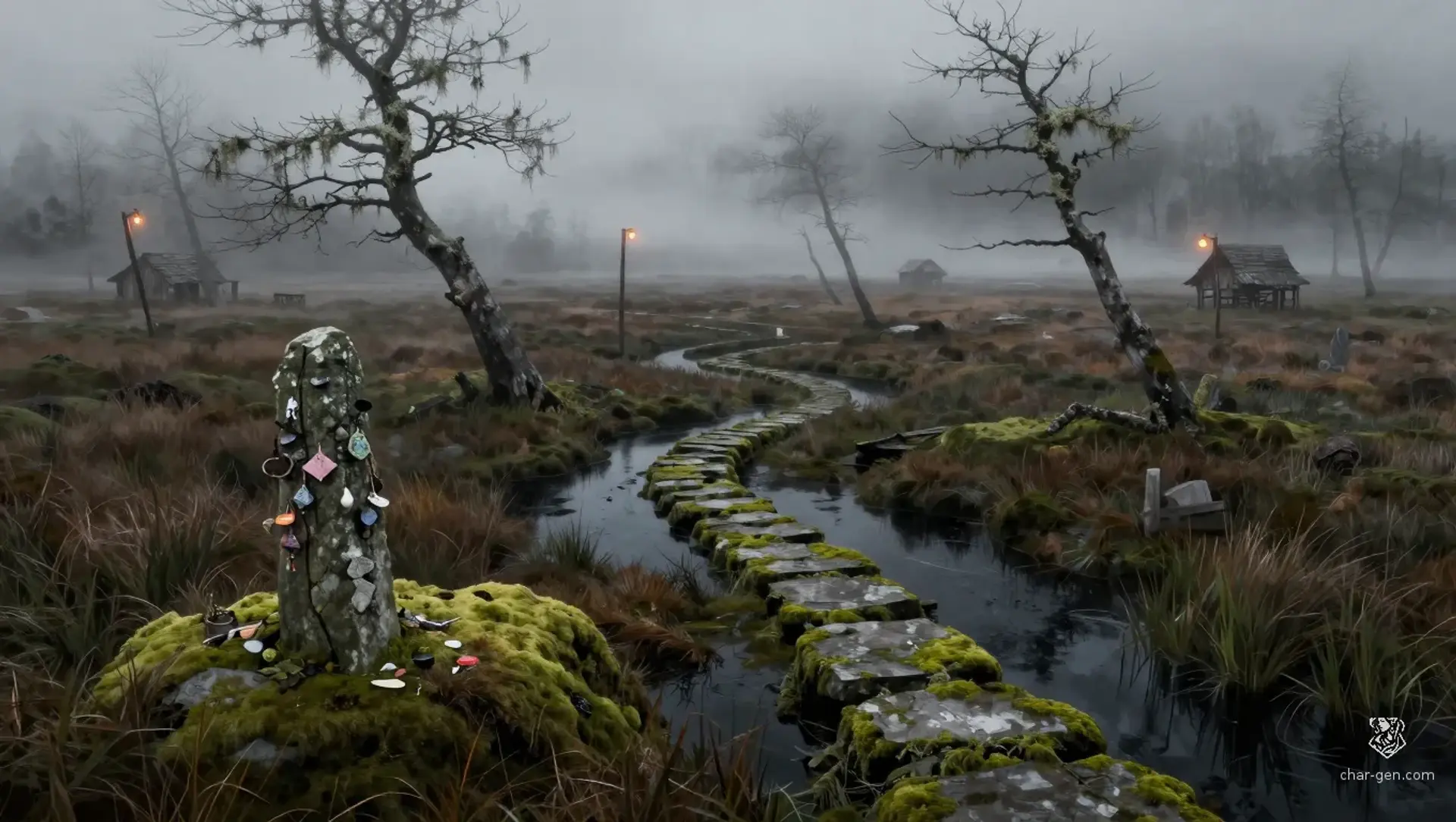
The Reeds of Drowned Stone is a wide, sinking bogland that swallows roads, muffles sound, and turns every crossing into a decision. Cold fog hangs low over black channels and half-submerged markers, while dead trees lean like warning fingers. Small settlements cling to firmer hummocks, reed banks, and old causeways. The region feels watched, half forgotten, and full of routes only locals trust.
The Reeds of Drowned Stone
Region AtlasWilderness bog regionBroad frontier region with many scattered settlements, camps, shrines, and hidden routes.
The Reeds of Drowned Stone
Where the ground breathes, the fog hides old roads, and every safe step has a price.
PopulationSparse overall, with scattered pockets around…
ClimateCold, wet, and windless for long stretches, with…
TerrainSoft ground, root bridges, shallow channels, and…
StabilityFragile but functional, held together by local…
Visual sheet
Turn The Reeds of Drowned Stone into a sheet
A high-res, share-ready sheet you can post or print.
Gallery
No images yet. Click to add.
Settlements
Reedwatch
Ferry hamletSmall
Crossing point and guide exchange.
Hummock End
Marsh villageSmall
Gathering place for herbs and peat.
Stonegate Camp
Waystation campTiny
Salvage stop and route marker station.
Mireford Landing
River landingSmall
Trade pier and rumor market.
Rootbridge Crossing
Warden postTiny
Main local passage between safe ground clusters.
Alder Hollow
Shrine hamletTiny
Healing herb source and shelter for travelers.