
The Frosted Basin is a wide northern region of forested highlands, river valleys, and cold inland waters where many settlements cling to navigable routes and sheltered ground. Ursapian clan life dominates the older districts, but merchants, settlers, and outlying kin groups have made the basin a patchwork of customs and obligations. Summer brings feverish work and full granaries, while winter turns every road, hearth, and treaty into a test of survival.
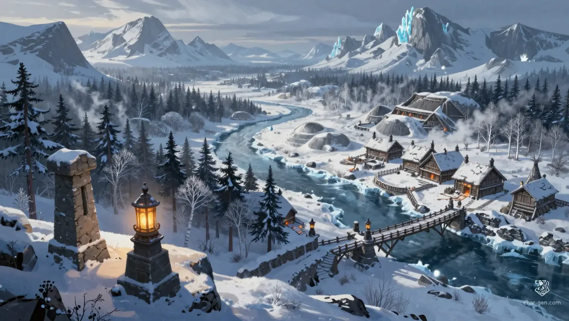
The Frosted Basin
Region AtlasNorthern homeland regionLarge regional basin with many towns, villages, and outlying seasonal camps.
The Frosted Basin
Where winter is survived by memory, granaries, and old vows.
PopulationLow overall, with dense pockets around river…
ClimateLong cold winters, brief bright summers, and…
TerrainBroken highlands, deep valleys, and broad river…
StabilitySteady but tense, with local loyalty stronger…
Visual sheet
Turn The Frosted Basin into a sheet
A high-res, share-ready sheet you can post or print.
Gallery
No images yet. Click to add.
Settlements
Timber Ford
River townMedium
Primary river crossing and logging market.
Stonebarrow Crossing
Bridge settlementSmall
Transit checkpoint and caravan rest.
Longmarket
Market townMedium
Regional trade gathering place.
Hearthridge
Hill settlementSmall
Local governance and winter grain storage.
Pinewater Camp
Seasonal campSmall
Hunting base and fur sorting site.
Cinder Vale
Industrial villageSmall
Craft production and ore processing.