
The Marrowwater Basin is a vast wetland homeland where the Marrowfin people live among slow rivers, misty lakes, flooded forests, and reed-covered islands. The region supports many settlements connected by boats, raised paths, canals, and seasonal markets. Its beauty hides unstable ground, old ruins, territorial spirits, and fierce political rivalries. Travelers find welcome in most communities if they respect local waters, honor clan customs, and avoid treating the wetlands as empty land.
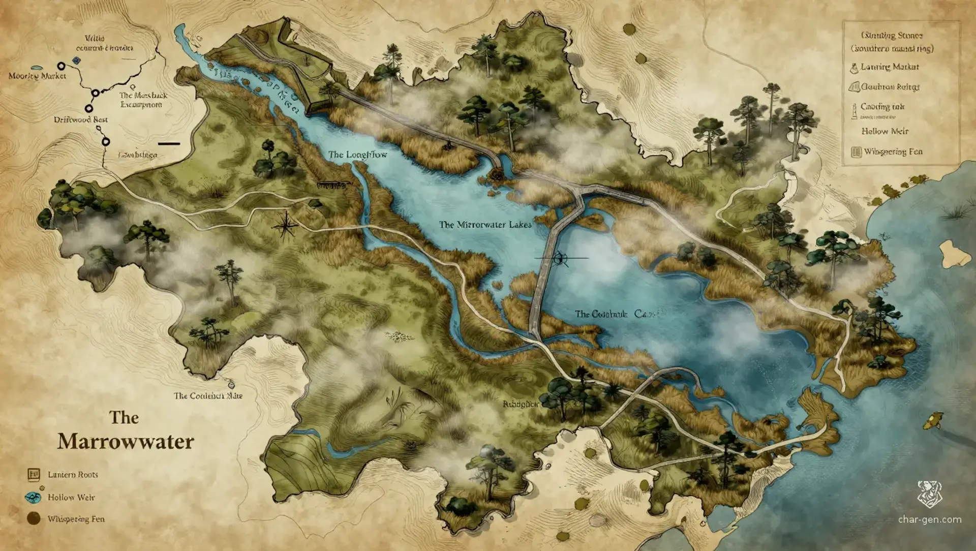
The Marrowwater Basin
Region AtlasWetland river basinA broad regional homeland spanning several days of travel by boat and multiple weeks across its outer marshes
The Marrowwater Basin
Where every current remembers, and every reed may hide a road.
PopulationModerate, with dense settlement along waterways…
ClimateWarm, humid, and seasonally flooded with heavy…
TerrainA broad lowland of slow rivers, drowned forests,…
StabilityStable along established waterways but strained…
Visual sheet
Turn The Marrowwater Basin into a sheet
A high-res, share-ready sheet you can post or print.
Gallery
No images yet. Click to add.
Settlements
Reedgate
River market townLarge
Regional trade center and council seat
Mooring Market
Dockside settlementMedium
Commercial crossroads
Willowbank
Raised island villageMedium
Agricultural and spiritual community
Driftwood Rest
Floating villageSmall
Waystation for river travelers
Lowbridge
Causeway townMedium
Border and caravan exchange point