
This temperate lowland region spreads across plains, meadows, and marshy drains for roughly a small county’s breadth. Its heart is an open-air chapel built into an old druid ash site, where a stone altar, ash-covered benches, and portable sacred furnishings stand beneath a dull sky. Villages, hamlets, and roadside stops cluster around safe ground, while dark forests press close and lend the whole place a solemn, watchful tone.
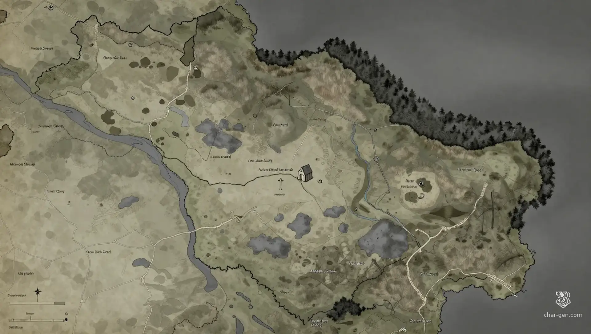
The Ashen Chapel Lowlands
Region AtlasLowlandsLocal, spanning about 20 to 50 miles.
The Ashen Chapel Lowlands
Where ash, prayer, and open fields meet beneath a watchful grey sky.
PopulationScattered and moderate for a local lowland region.
ClimateTemperate with damp springs and cool, misty…
TerrainFlat lowlands broken by ash patches, shallow…
StabilityGenerally stable, but tense whenever land use and…
Visual sheet
Turn The Ashen Chapel Lowlands into a sheet
A high-res, share-ready sheet you can post or print.
Gallery
No images yet. Click to add.
Settlements
Greyford
TownMedium
Trade exchange and ferry point.
Palewick
VillageSmall
Grain production and local pilgrimage stop.
Ashmere Green
CampTiny
Ritual support and resting place for pilgrims.
Brackendell
LandingSmall
Water transport and medicinal exports.
Rowan Cross
VillageSmall
Supply stop for road traffic.