
The Marsh is a regional wetland stretching across a maze of blackwater channels, reed seas, drowned roads, and scattered islands. It is dangerous, inhabited, and economically vital rather than empty wilderness. Dozens of settlements cling to raised ground, floating platforms, and old causeways. Common magic shapes daily life through warded boats, healing charms, weather signs, and spirit bargains, while ancient ruins beneath the water promise both discovery and disaster.
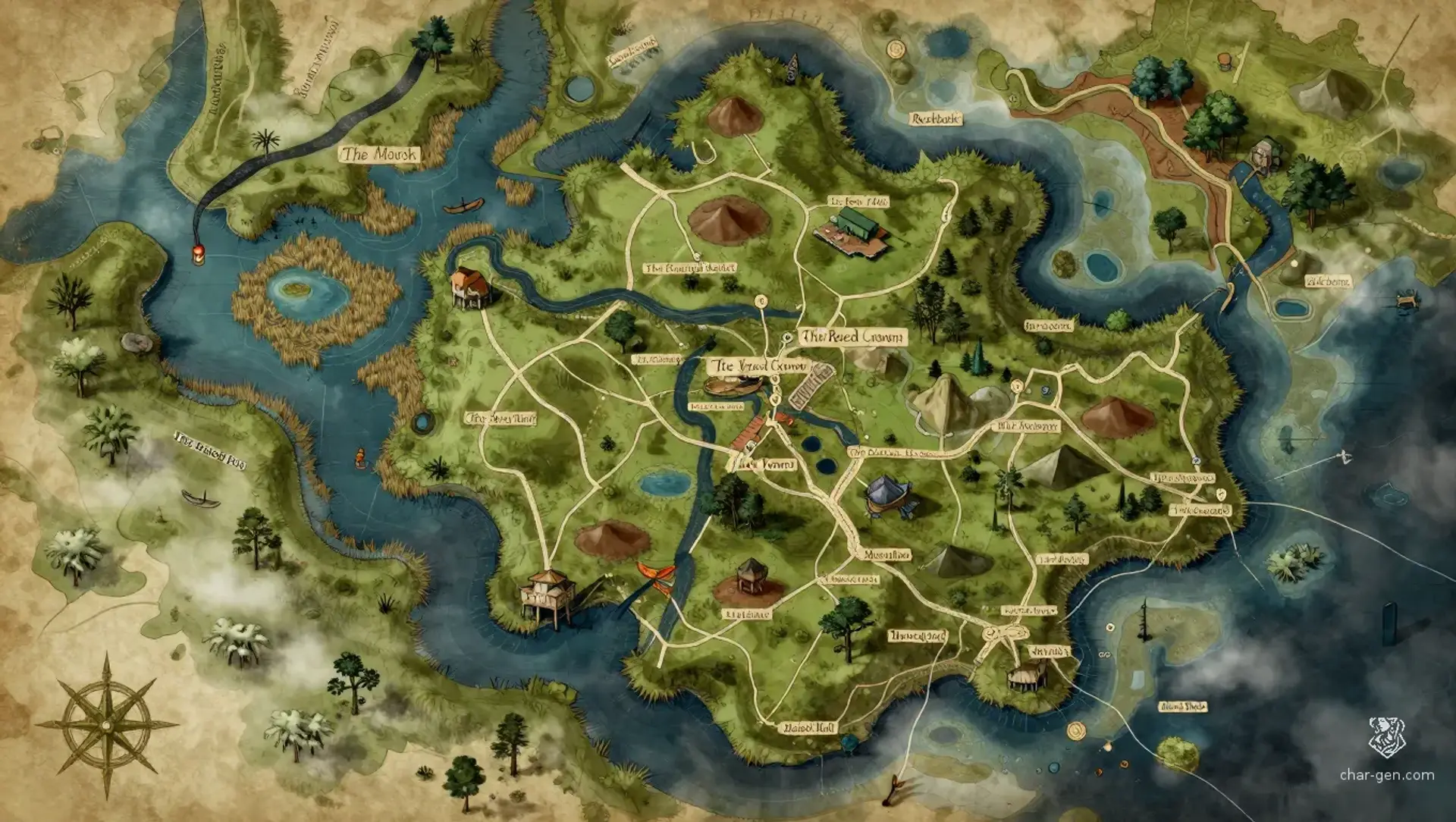
The Marsh
Region AtlasWildsRegional, spanning roughly 50 to 150 miles
The Marsh
Where every path floats, every shadow remembers, and the water keeps its secrets.
PopulationSparse overall, with dense settlement clusters…
ClimateHot, humid, and rainy, with long flood seasons,…
TerrainA vast maze of blackwater channels, half-drowned…
StabilityLoose but functional, with frequent disputes…
Visual sheet
Turn The Marsh into a sheet
A high-res, share-ready sheet you can post or print.
Gallery
No images yet. Click to add.
Settlements
Reedbank
Stilt villageLarge village
Fishing and herbal trade center
Low Landing
Fortified ferry stationSmall town
Ferry and caravan junction
The Floating Market
Floating market townLarge town
Regional trade hub
Mirewatch
Causeway settlementSmall town
Security and warning post
Stillwater
Shrine communityMedium village
Religious and medical center