
The Cut is a broad political and commercial region built around an immense drainage trench that became a canal, road, and rail corridor. Farmland presses against dense commuter towns, while licensed magic flows through offices, workshops, schools, and markets. Every district feels prosperous, crowded, and slightly provisional. The region’s central mystery is also its oldest civic fact: three different founders are remembered as legitimate, and all three dynasties still collect rent from the same thriving urban core.
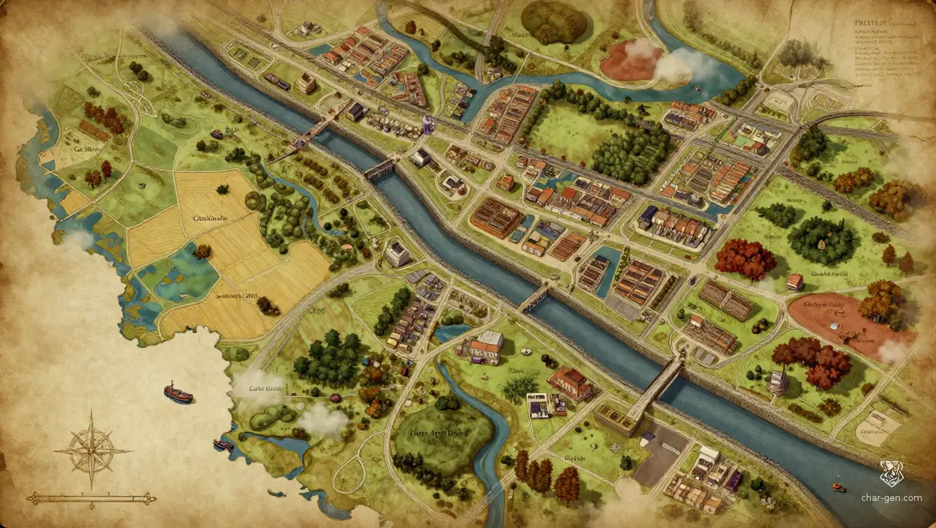
The Cut
Region AtlasPolitical and commercial heartlandA large, densely settled region spanning several days of road travel and many connected towns.
The Cut
Where the land was cut open, three histories learned to collect rent.
PopulationVery dense around transport corridors and…
ClimateTemperate with wet springs, mild summers, foggy…
TerrainBroad farmland is broken by rail embankments,…
StabilityStable in public and tense beneath the surface,…
Visual sheet
Turn The Cut into a sheet
A high-res, share-ready sheet you can post or print.
Gallery
No images yet. Click to add.
Settlements
Cleared Gate
Market boroughLarge
Road tolling and bulk trade
Drain Market
Canal townMedium
Agricultural exchange and canal supply
Cut Station
Commuter townVery large
Passenger traffic and administrative labor
Grubbed Field
Farmstead clusterSmall
Grain production and seasonal hiring
Silt Yard
Industrial villageMedium
Barge repair and clay processing