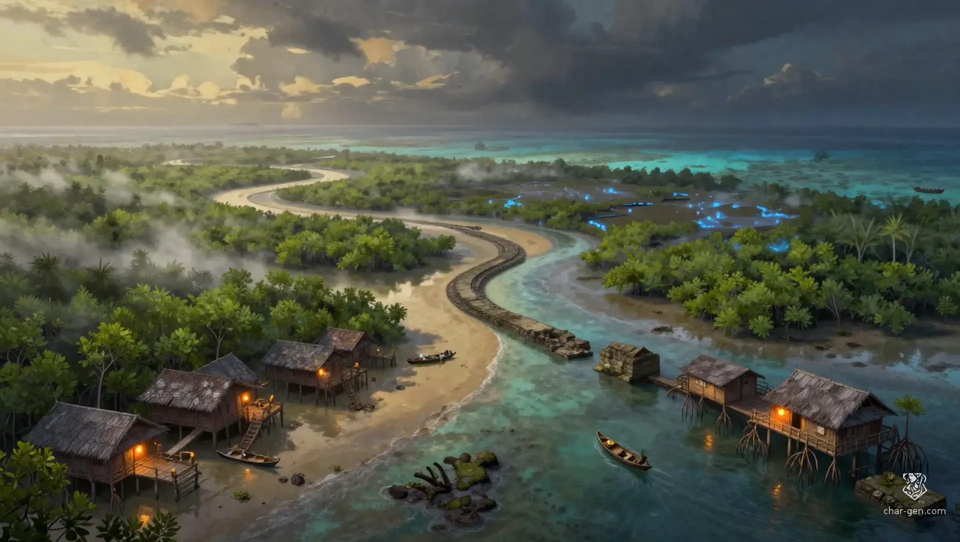
The Brinecoil Isles are a compact tropical island chain where swamp, reef, and shallow channel merge into one living borderland. Settlements cling to raised ground, stilt piers, and shell ridges, while boats and ferries bind the region together. The place feels humid, secretive, and always half-submerged, with trade, magic, and survival woven into daily life. It is broad enough to host many communities without losing its local, tightly connected scale.
The Brinecoil Isles
Region AtlasIsland ChainLocal, spanning roughly twenty to fifty miles of islands and channels.
The Brinecoil Isles
Where every tide redraws the map and every lantern marks a bargain.
PopulationModerate near docks and channels, sparse in the…
ClimateHot, wet, and storm-prone through most of the…
TerrainLow island chains linked by mudflats, canals, and…
StabilityUneven, but kept functional by trade interests…
Visual sheet
Turn The Brinecoil Isles into a sheet
A high-res, share-ready sheet you can post or print.
Gallery
No images yet. Click to add.
Settlements
Driftmarket
Harbor townLarge
Regional trade center
Lantern Cay
Island portMedium
Guide port
Reedwatch
Stilt villageSmall
Herbal supply and refuge
Pierwatch
Dock townMedium
Administrative harbor
Shellrest
Ridge hamletSmall
Farming and fishing support