
The Measurelands are a broad Ledgerkin homeland built around rivers, roads, workshops, and carefully managed farmland. Dense urban districts cluster near waterways, while villages, quarry camps, and caravan stations extend into wooded hills and open basin country. Every community depends on contracts, maintenance, and practical cooperation, yet old rivalries divide guilds, councils, and frontier families. Beneath this orderly landscape lie forgotten works whose makers may have understood ownership as a force more literal than law.
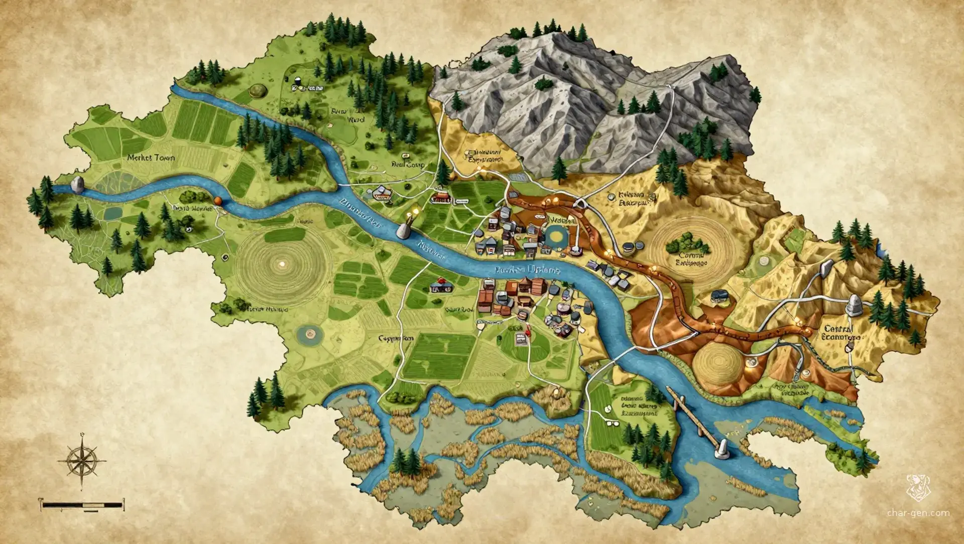
The Measurelands
Region AtlasHomeland river basin and industrial heartlandA large multi-district region spanning several days of travel across plains, hills, marshes, and uplands
The Measurelands
Where every road has a measure and every promise leaves a mark.
PopulationPopulation is dense around waterways and roads…
ClimateThe region has a temperate climate with wet…
TerrainBroad river plains give way to wooded ridges,…
StabilityStable in settled districts, strained by guild…
Visual sheet
Turn The Measurelands into a sheet
A high-res, share-ready sheet you can post or print.
Gallery
No images yet. Click to add.
Settlements
Market Town
Market townLarge
Regional exchange center
River Ward
River cityLarge
Waterway port
Hill Camp
Resource campSmall
Mining and quarry settlement
Road Gate
Caravan stationMedium
Transit and customs station
Marsh Hamlet
Marsh villageSmall
Wetland fishing community