
The Blackfeather Basin is a broad Ironbilled homeland shaped by restless rivers, wind-bent forests, marshy lowlands, and ancestral roads. Its settlements range from crowded bridge towns to isolated clan keeps and reed-built villages. Trade binds the region together, but old customs remain powerful, especially around sacred nesting grounds and burial cliffs. Travelers find generous hosts, strict bargains, dangerous weather, and ruins that remember more than the living do.
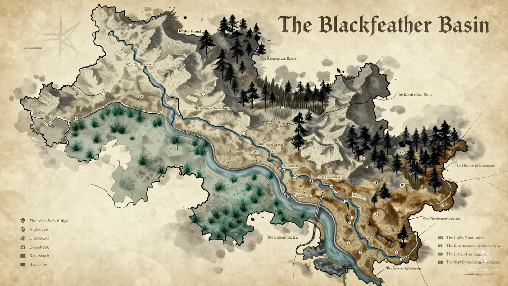
The Blackfeather Basin
Region AtlasHomeland basinA large region spanning several days of travel across river basin, upland, forest, and marsh.
The Blackfeather Basin
Where black wings ride the wind, old roads whisper beneath the soil.
PopulationModerate along waterways and low in the upland…
ClimateCool and windy with wet springs, bright summers,…
TerrainA broad basin of rivers, marshes, wooded ridges,…
StabilityStable in the heartlands but strained by border…
Visual sheet
Turn The Blackfeather Basin into a sheet
A high-res, share-ready sheet you can post or print.
Gallery
No images yet. Click to add.
Settlements
High Eyrie
Hill cityLarge
Administrative and cultural center
Crosswind
River market townLarge
Major trade hub
Stonehook
Fortified townMedium
Toll station and military outpost
Reedwatch
Marsh villageSmall
Marsh trade and fishing center
Blackpine
Forest campSmall
Forestry and ironworking settlement