
The Mewreach is a broad homeland of river valleys, forest trails, marsh channels, and upland roads where Mews communities have adapted every landscape to trade and survival. Compact towns cling to bridges and canals, while clan villages hide among orchards, ridges, and reedbeds. The region feels prosperous but unfinished, with old ruins beneath familiar roads and ambitious outsiders pressing against traditions that have endured for centuries.
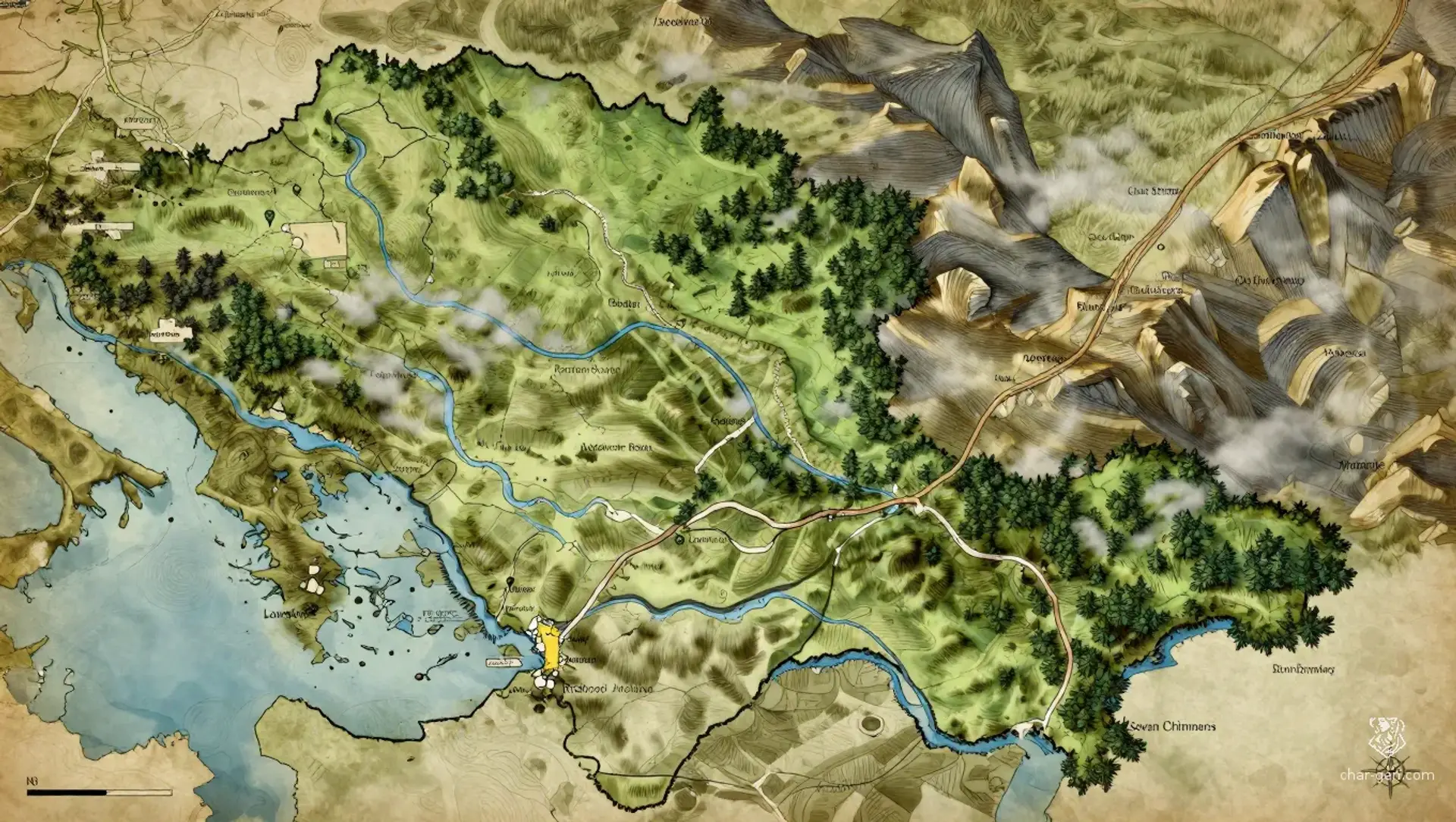
The Mewreach
Region AtlasHomeland regionA large subcontinental region broad enough to contain numerous towns, villages, trade roads, wilderness zones, and contested frontiers.
The Mewreach
Where every river carries a story and every rooftop hides a listening ear.
PopulationModerate overall, with dense market towns along…
ClimateMild and humid, with long growing seasons, heavy…
TerrainBroad river basins rise into wooded ridges, marsh…
StabilityStable in settled valleys, but strained by border…
Visual sheet
Turn The Mewreach into a sheet
A high-res, share-ready sheet you can post or print.
Gallery
No images yet. Click to add.
Settlements
Threadmarket
Market townLarge
Primary commercial meeting place
Lowbridge
Bridge townMedium
River crossing and toll station
Hearthstep
Hill villageSmall
Clan gathering center
Reedrest
Marsh hamletSmall
Marsh trade and fishing center
Stonewake
Border settlementMedium
Mining outpost