
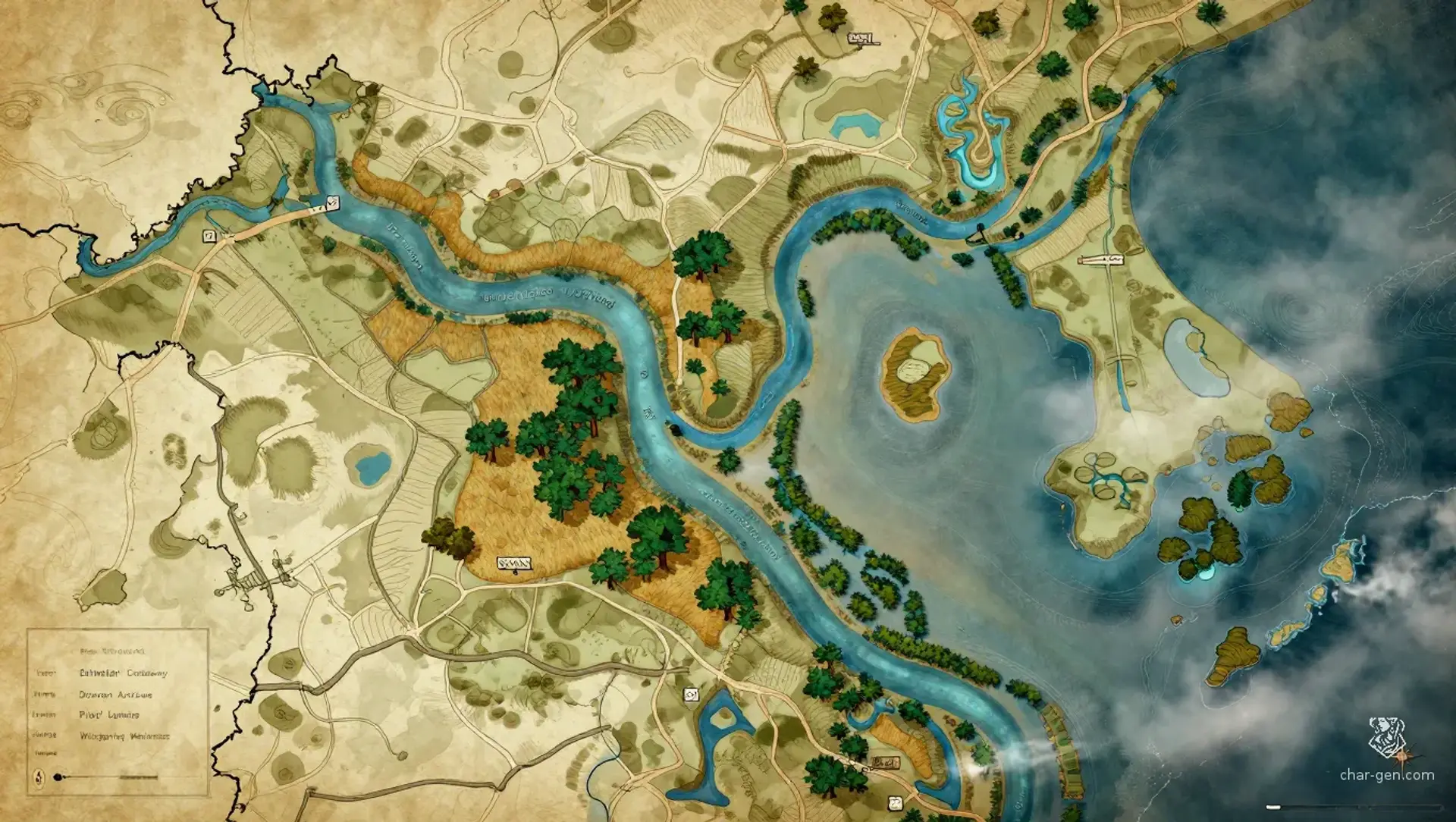
Dunmere is a broad southern delta where fertile rivers divide warm marshes before meeting the sea. Barges, fishing boats, shrine skiffs, and foreign caravels crowd its channels, while raised roads connect market towns scattered across reed islands and floodplain terraces. Magic is common and practical here, guiding weather, sealing bargains, and protecting homes. Yet the region is becoming dangerous as river pilots vanish and unattended vessels drift toward waters forbidden by every local chart.
Dunmere
Region AtlasRiver delta and maritime gatewayLarge regional delta spanning many waterways, marsh communities, market towns, and coastal ports.
Dunmere
Where every river remembers a bargain, and every empty boat carries a warning.
PopulationModerate, with dense settlements along waterways…
ClimateHot, humid, and storm-prone, with long growing…
TerrainA broad river delta spreads through warm marshes…
StabilityFunctional but strained by pilot disappearances,…
Visual sheet
Turn Dunmere into a sheet
A high-res, share-ready sheet you can post or print.
Gallery
No images yet. Click to add.
Settlements
Low Wharf
River market townLarge
Primary commercial port
Reedmarket
Marsh market villageMedium
Agricultural and craft exchange
South Gate
Coastal portLarge
Maritime gateway
Hummock
Raised marsh villageSmall
River waypoint
Weirwatch
Canal fortSmall
Security and toll station